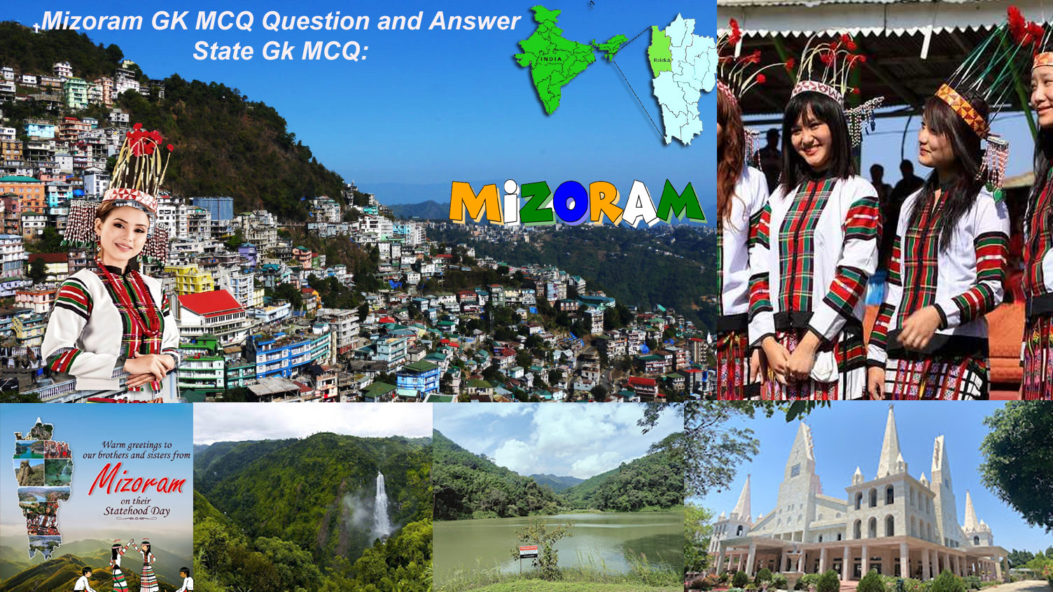
Mizoram State Quiz with Answers for GK.
Mizoram GK MCQ Question and Answer: Mizoram gk questions
Mizoram gk is a state in the northeastern part of India. It is bordered by Myanmar to the east and south, Bangladesh to the west, and Manipur, Nagaland, and Assam of India to the north. The state, which covers approximately 21,081 square kilometers, is one of the smallest states in the country. It is part of the Seven Sister States of Northeast India.
Aizawl is Mizoram’s capital and the state’s biggest city. Mizoram has 1.1 million people, most of which are indigenous ethnic groups, with the Mizo people being the largest ethnic group in the state. State has a diverse culture, music, and festivals, including the Chapchar Kut and Thalfavang Kut.
Mizoram, which was earlier known as the Lushai Hills, became a union territory in 1972. It was given statehood on February 20, 1987. Mizo is the state’s official language, but Hindi and English are also very common.
The majority of Mizoram’s people are Christians, and Christianity is a big part of the state’s social life. Also, the state is famous for its diverse natural beauty, which includes lush green hills, rivers, and valleys. One of its most famous wildlife sanctuaries is the Dampa Tiger Reserve.
Agriculture is the mainstay of the economy, with tobacco, maize, and rice being the main crops. The state’s economy is also heavily influenced by crafts and handicrafts. The state is strategically significant because it is on the border of India, Myanmar, and Bangladesh. Or Study Point
Read More: GK of Meghalaya: Latest gk of Meghalaya – Meghalaya gk Manipur GK Question and Answer: GK About Manipur.. Assam GK Question Answer:Arunachal Pradesh GK Question and Answer.
Q1. What is the capital of Mizoram?
Q1. मिजोरम की राजधानी क्या है?
A) Aizawl
B) Imphal
C) Shillong
D) Guwahati
(Show Answer)
Answer:- A) Aizawl
– The capital of Mizoram is Aizawl, which is located in the central part of the state and serves as the political, cultural, and economic hub of Mizoram. –
Q2. Which country borders Mizoram to the east?
Q2. मिजोरम की सीमा पूर्व में किस देश से लगती है?
A) Bangladesh
B) Myanmar
C) Bhutan
D) Nepal
(Show Answer)
Answer:- B) Myanmar
– Mizoram shares its eastern border with Myanmar. The state is located in the northeastern part of India and has a significant international border with Myanmar. –
Q3. In which year did Mizoram become a full-fledged state of India?
Q3. मिजोरम किस वर्ष भारत का पूर्ण राज्य बना?
A) 1972
B) 1987
C) 1962
D) 1990
(Show Answer)
Answer:- B) 1987
– Mizoram became a full-fledged state of India on February 20, 1987. Prior to this, it was a Union Territory since 1972.. –
Q4. Which district is the largest in Mizoram by area?
Q4. मिजोरम में क्षेत्रफल की दृष्टि से कौन सा जिला सबसे बड़ा है?
A) Aizawl
B) Champhai
C) Kolasib
D) Lunglei
(Show Answer)
Answer:- D) Lunglei District
– The largest district in Mizoram by area is Lunglei District. It is located in the southern part of the state and is known for its scenic landscapes and cultural heritage… –
Q5. Mizoram shares its border with which of the following countries?
Q5. मिज़ोरम की सीमा निम्नलिखित में से किस देश के साथ लगती है?
A) Nepal and Bhutan
B) Myanmar and Bangladesh
C) China and Bhutan
D) Bangladesh and China
(Show Answer)
Answer:- B) Myanmar and Bangladesh
– Mizoram shares its international borders with Bangladesh to the west and Myanmar to the east and south. These borders make Mizoram strategically significant in India’s northeastern region for trade and connectivity… –
Q6. The state of Mizoram was previously known as __.
Q6. मिजोरम राज्य को पहले __ के नाम से जाना जाता था।
A) Manipur Hills
B) Lushai Hills
C) Kuki Hills
D) Nagaland Hills
(Show Answer)
Answer:- B) Lushai Hills
– The state of Mizoram was previously known as the Lushai Hills District during British rule. It later became the Mizo District under Assam before achieving Union Territory status in 1972 and statehood in 1987… –
Q7. What is the total area of Mizoram?
Q7. मिज़ोरम का कुल क्षेत्रफल कितना है?
A) 21,081 sq km
B) 22,000 sq km
C) 25,000 sq km
D) 30,000 sq km
(Show Answer)
Answer:- A) 21,081 sq km
– The total area of Mizoram is 21,081 square kilometers. It is a hilly state in northeastern India, known for its lush green forests, scenic landscapes, and rich biodiversity.. –
Q8. Who was the first Chief Minister of Mizoram?
Q8. मिजोरम के पहले मुख्यमंत्री कौन थे?
A) Lal Thanhawla
B) Zoramthanga
C) Laldenga
D) S.C. Sinha
(Show Answer)
Answer:- A) Lal Thanhawla
– Lal Thanhawla was the first Chief Minister of Mizoram after it became a full-fledged state on February 20, 1987. He played a significant role in Mizoram’s political landscape and development over decades.. –
Q9. Which is the highest peak in Mizoram?
Q9. मिज़ोरम की सबसे ऊँची चोटी कौन सी है?
A) Phawngpui
B) Vangchhia
C) Rihdil
D) Lushai
(Show Answer)
Answer:- A) Phawngpui
– The highest peak in Mizoram is Phawngpui or Blue Mountain, standing at an elevation of 2,157 meters (7,077 feet) above sea level. It is located in the Lawngtlai district and is a popular tourist destination.. –
Q10. Which river is the longest in Mizoram?
Q10. मिजोरम में कौन सी नदी सबसे लंबी है?
A) Tlawng
B) Kolodyne
C) Kaladan
D) Lengteng
(Show Answer)
Answer:- A) Tlawng
– The Tlawng River, also known as the Dhaleswari River, is one of the major rivers in Mizoram. It flows for approximately 185 km, making it the longest river entirely within the state of Mizoram.. –
Q11. Mizoram became a Union Territory in the year?
Q11. मिज़ोरम किस वर्ष केंद्र शासित प्रदेश बना?
A) 1962
B) 1972
C) 1987
D) 1990
(Show Answer)
Answer:- B) 1972
– Mizoram became a Union Territory on January 21, 1972, after being carved out from Assam. This status paved the way for its eventual recognition as a full-fledged state on February 20, 1987.. –
Q12. The first Governor of Mizoram was?
Q12. मिजोरम के प्रथम राज्यपाल थे?
A) Dr. S. Radhakrishnan
B) H. L. S. Chakravarty
C) Lt. Gen. (Retd.) S. K. Sinha
D) Lt. Gen. (Retd.) M. M. Lakhera
(Show Answer)
Answer:- B) H. L. S. Chakravarty
– H. L. S. Chakravarty was the first Governor of Mizoram after it became a Union Territory in 1972. He served from 1972 to 1974, overseeing the early years of Mizoram’s political transition.. –